
Περιγραφή
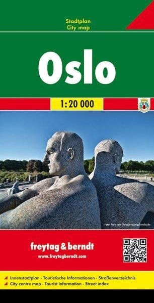
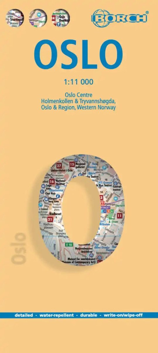
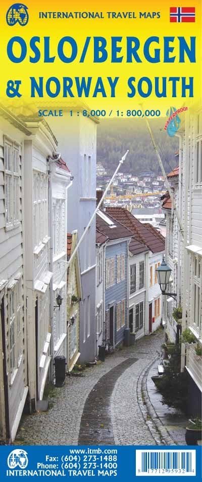
Detailed map of Oslo (Norway) published by Freytag & Berndt. This indexed street map of Oslo extends from Nittedal (to the north-east) to Sandvika (to the west) and Oppegård (to the south). Points of interest are shown. The map indicates ferries, bus/tram lines, railways and metro lines. A 1:10,000 enlargement of central Oslo is included. A road map of the area around Oslo at 1:800,000 is also included.




Αξιολογήσεις
Δεν υπάρχει καμία αξιολόγηση ακόμη.