

Περιγραφή
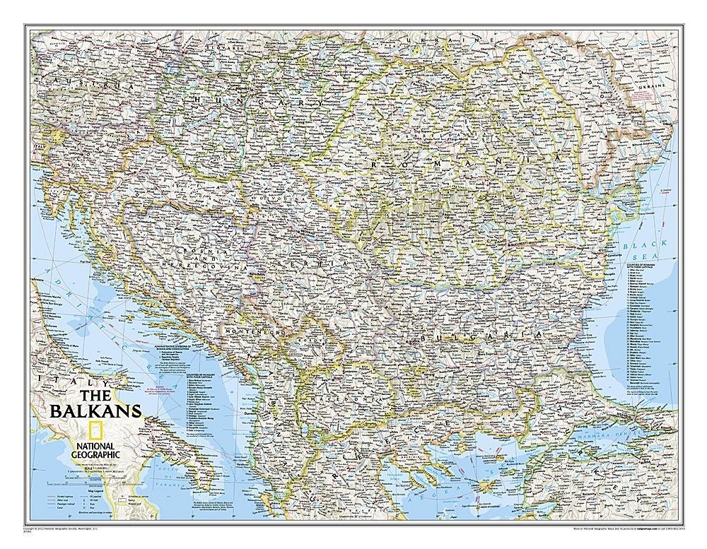
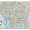
This wall map of the Balkans , published by National Geographic, is in English and measures 77 x 60 cm . At a scale of 1:1,948,000 (1 cm = 19 km), it shows physical information such as major roads, rivers and national parks. It covers Albania, Austria, Bosnia and Herzegovina, Bulgaria, Croatia, Hungary, Kosovo, Macedonia, Moldova, Montenegro, Romania and Slovenia.





Αξιολογήσεις
Δεν υπάρχει καμία αξιολόγηση ακόμη.