

Περιγραφή
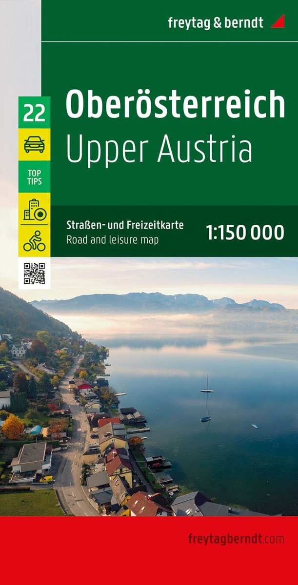
This road map of Upper Austria , published by Freytag & Berndt, covers the area north of a Salzburg-Hieflau line. Scale: 1:150,000 (1 cm = 1.5 km). relief mapping and distances; city index with postal codes; maps of several towns, including Perg, Linz and Steyr ; information on 10 tourist attractions; legend in French, English, German and Italian.





Αξιολογήσεις
Δεν υπάρχει καμία αξιολόγηση ακόμη.