Free shipping within Greece on orders over €30210 3616943
New
10% Off
Multilingual edition
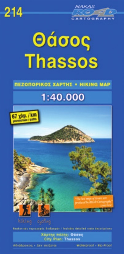
Original title: Θάσος – Πεζοπορικός Χάρτης (Nakas)

€7.19Publisher price €7.99

In stock
ISBN/Barcode: 9789604489657Code: XRN5094 Category: , , Tags: , , ,

Description

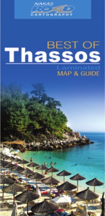
Thassos – Hiking Map (Nakas) – multilingual edition. Published by Nakas Road Cartography (2016).

  • Destination: Thassos, Kavala, Μακεδονία & Θράκη, Greece
  • Category: North Aegean, Hiking Maps, Hiking Maps of Greece
  • Details: Folded map · scale 1:40,000 · unfolded 70 x 100 cm

A full English description is coming soon. Questions about this item? Email us at info@travelbookstore.gr or call +30 210 361 6943 – we are happy to help.
Product information

Weight 90 g
Dimensions 12 × 24.5 cm
Publisher

Language

, , , , ,

ISBN

9789604489657

Scale

1:40,000

Unfolded size

70 x 100 cm

Format

Folded map

Publication month

March

Publication year

2016

Destination

Macedonia

Continent

Europe

Country

Greece

City / Island

Thassos

Prefecture

Kavala

Reviews

There are no reviews yet.

Be the first to review “Θάσος – Πεζοπορικός Χάρτης (Nakas)”

Your email address will not be published. Required fields are marked *

Θάσος – Nakas Road Cartography
Thassos – Hiking Map (Nakas)
€7.19Publisher price €7.99 Add to cart
ΕΛ