Free shipping within Greece on orders over €30210 3616943
New
10% Off
English edition

€20.79Publisher price €23.10

In stock

Wall Map

ISBN/Barcode: 9781903030851Code: TB.CR.LAM.00008 Category: , Tag:

Description

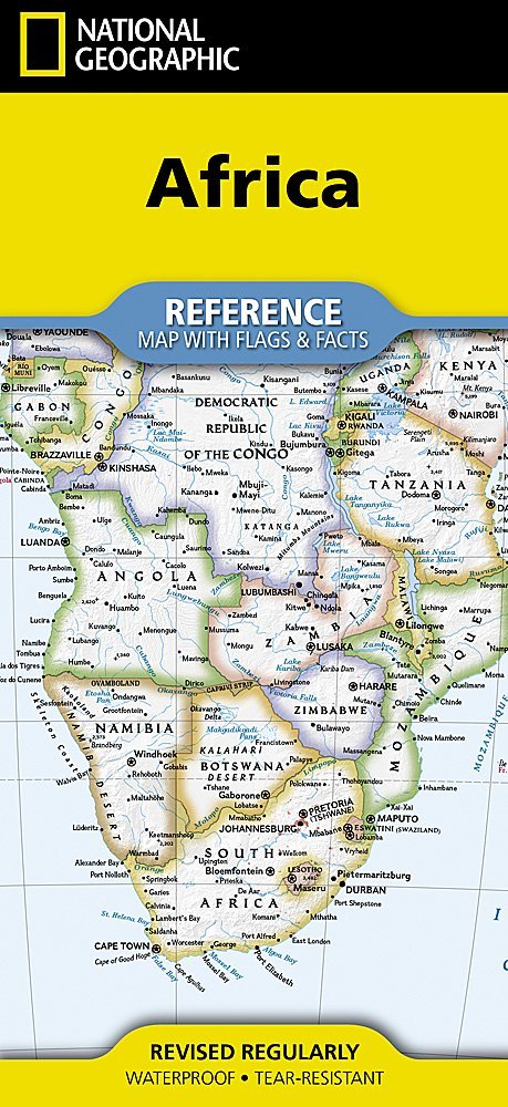
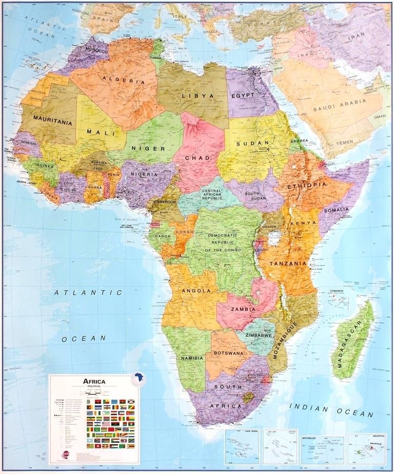
This laminated political map poster of Africa , published by Maps International, is in English and measures 100 x 120 cm . The political map shows the different countries in bright colours against a light blue ocean background. This large format is designed for wall display.
Product information

Weight 280 g
Publisher

Language

Continent

Africa

ISBN

9781903030851

Unfolded size

100 x 120 cm

Publication year

2008

Destination

Africa

Reviews

There are no reviews yet.

Be the first to review “Political Africa (100 x 120 cm) – Wall Map (Maps International)”

Your email address will not be published. Required fields are marked *

Political Africa (100 x 120 cm) – Wall Map (Maps International)
€20.79Publisher price €23.10 Add to cart
ΕΛ