

Description
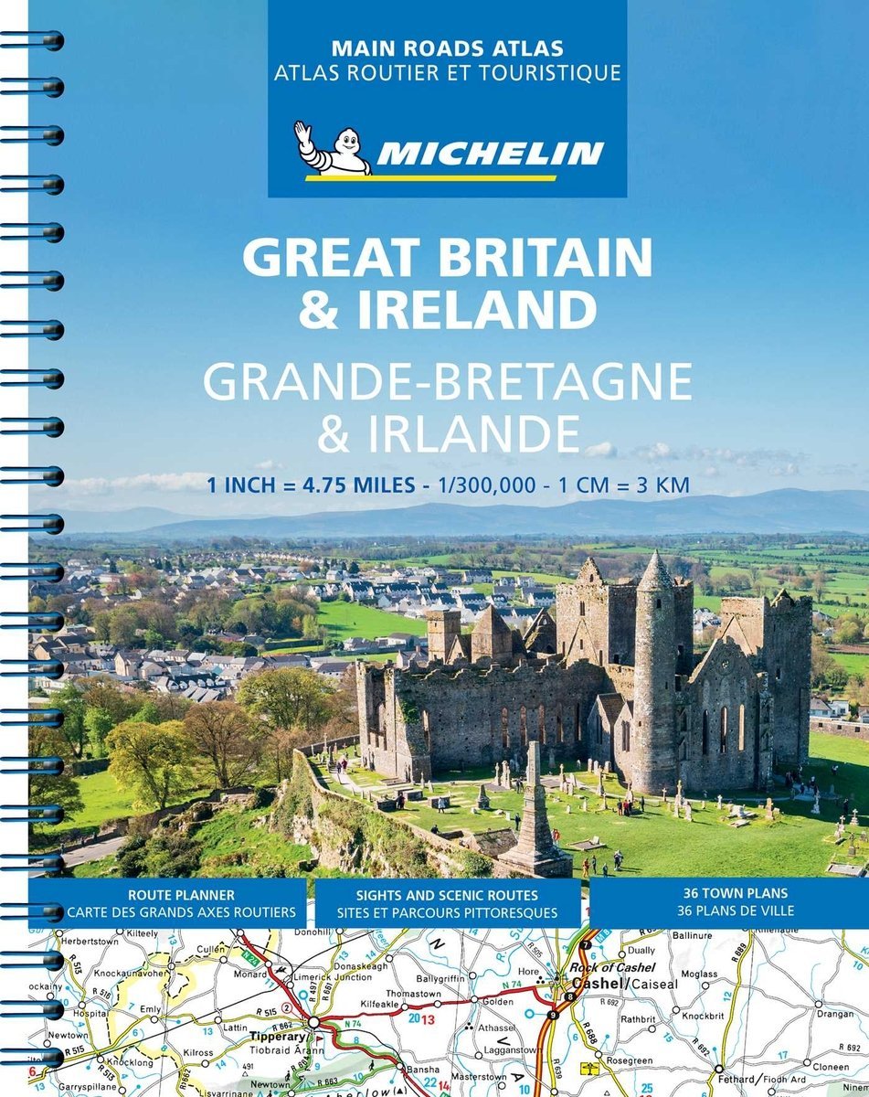
This newly updated Great Britain and Ireland Atlas includes Route Planner, Sights and Scenic Routes, and 41 Town Plans. (English/French) – Spiral Format. Scale: 1:300,000 1 inch = 4.75 miles, 1 cm = 3 km

€23.76Publisher price €26.40
In stockThis newly updated Great Britain and Ireland Atlas includes Route Planner, Sights and Scenic Routes, and 41 Town Plans. (English/French) – Spiral Format. Scale: 1:300,000 1 inch = 4.75 miles, 1 cm = 3 km
| Weight | 538 g |
|---|---|
| Dimensions | 23 × 29 cm |
| Publisher | |
| Language | |
| Continent | Europe |
| Country | Ηνωμένο Βασίλειο, Ιρλανδία |
| ISBN | 9782067235861 |
| Scale | 1:300,000.1 |
| Pages | 216 |
| Format | Spiral-bound |
| Publication month | October |
| Publication year | 2021 |
| Destination | UK & Ireland |








Reviews
There are no reviews yet.