

Description
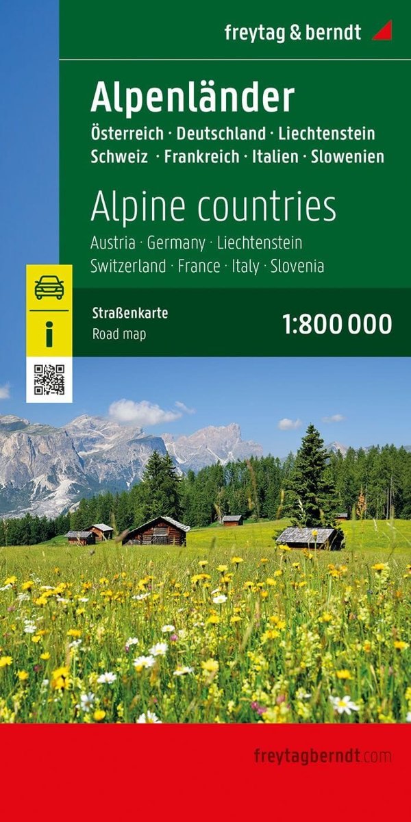
This road map of the Alps , printed on one side, covers Austria, Germany, Liechtenstein, Switzerland, France, Italy and Slovenia. Scale: 1:800,000 (1 cm = 8 km). relief mapping; points of interest; distances; city index.

€14.94Publisher price €16.60
In stockRoad Map
This road map of the Alps , printed on one side, covers Austria, Germany, Liechtenstein, Switzerland, France, Italy and Slovenia. Scale: 1:800,000 (1 cm = 8 km). relief mapping; points of interest; distances; city index.
| Weight | 110 g |
|---|---|
| Publisher | |
| Language | |
| Continent | Europe |
| Country | Αυστρία, Γαλλία, Γερμανία, Ελβετία, Ιταλία, Σλοβενία |
| ISBN | 9783707922509 |
| Scale | 1:800,000 |
| Format | Folded map |
| Destination | Γερμανία & Κεντρική Ευρώπη, Βαλκάνια, Γαλλία, Ιταλία |






Reviews
There are no reviews yet.