
Free shipping within Greece on orders over €30210 3616943
New
10% Off
English edition

€13.50Publisher price €15.00

In stock

Road Map

ISBN/Barcode: 9783707921670Code: TB.FB.00282 Category: , Tags: , ,

Description

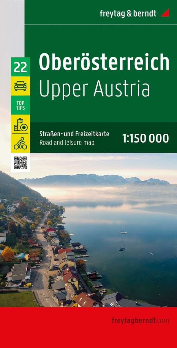
This road map of Upper Austria , published by Freytag & Berndt, covers the area north of a Salzburg-Hieflau line. Scale: 1:150,000 (1 cm = 1.5 km). relief mapping and distances; city index with postal codes; maps of several towns, including Perg, Linz and Steyr ; information on 10 tourist attractions; legend in French, English, German and Italian.
Product information

Weight 210 g
Publisher

Language

Continent

Europe

Country

Austria

ISBN

9783707921670

Scale

1:150,000

Format

Folded map

Destination

Γερμανία & Κεντρική Ευρώπη

Reviews

There are no reviews yet.

Be the first to review “Upper Austria – Road Map (Freytag & Berndt)”

Your email address will not be published. Required fields are marked *

Upper Austria – Road Map (Freytag & Berndt)
€13.50Publisher price €15.00 Add to cart
ΕΛ