

Περιγραφή
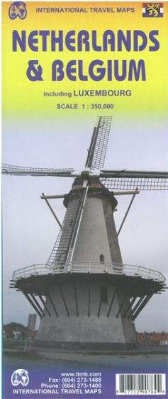
This road map of the Netherlands, Belgium and Luxembourg , published by ITM, is at a scale of 1:350,000 (1 cm = 3.5 km) . The front covers the Netherlands and part of Belgium; the reverse completes Belgium and Luxembourg. Border areas with France and Germany are also included. Relief, points of interest and a town index are shown.




Αξιολογήσεις
Δεν υπάρχει καμία αξιολόγηση ακόμη.