

Περιγραφή
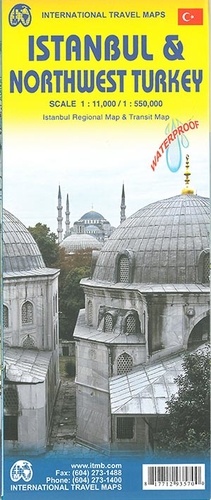
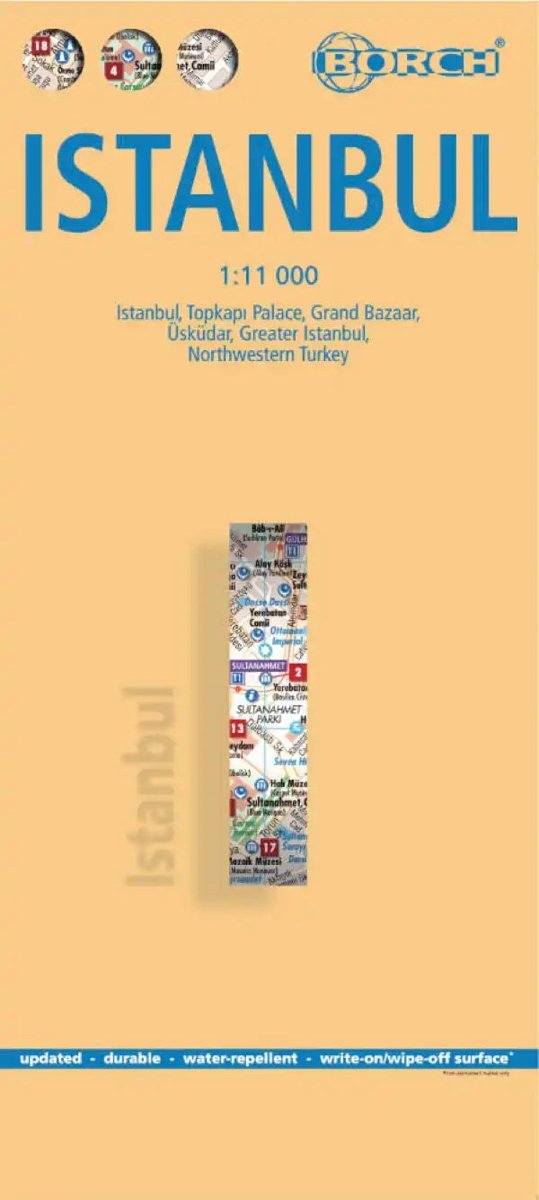
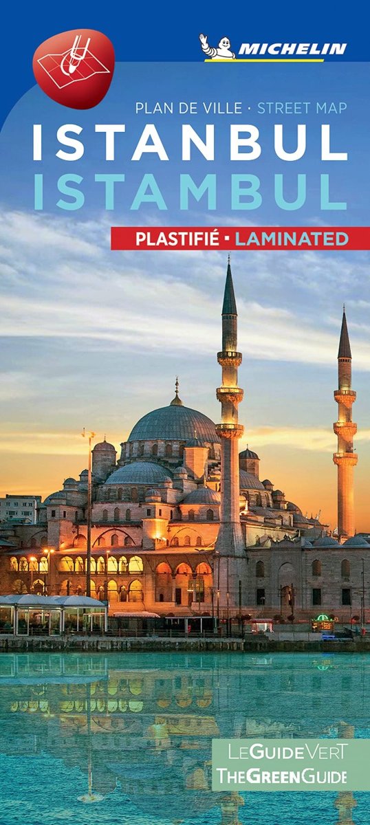
This ITM map features a large detailed map of Istanbul at 1:11,000 (1 cm = 110 m) with a street index and public transport. On the reverse, a road map of north-western Turkey at 1:550,000 (1 cm = 5.5 km) extends from the Greek and Bulgarian borders toward Çanakkale, Edremit and Bolu. Bosphorus ferries, tourist sites, relief, distances and a town index are shown. The map is waterproof and tear-resistant .




Αξιολογήσεις
Δεν υπάρχει καμία αξιολόγηση ακόμη.