
Free shipping within Greece on orders over €30210 3616943
New
10% Off
English edition

€14.94Publisher price €16.60

In stock

Road Map

ISBN/Barcode: 9783707924640Code: TB.FB.00215-3 Category: , Tags: , ,

Description

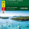
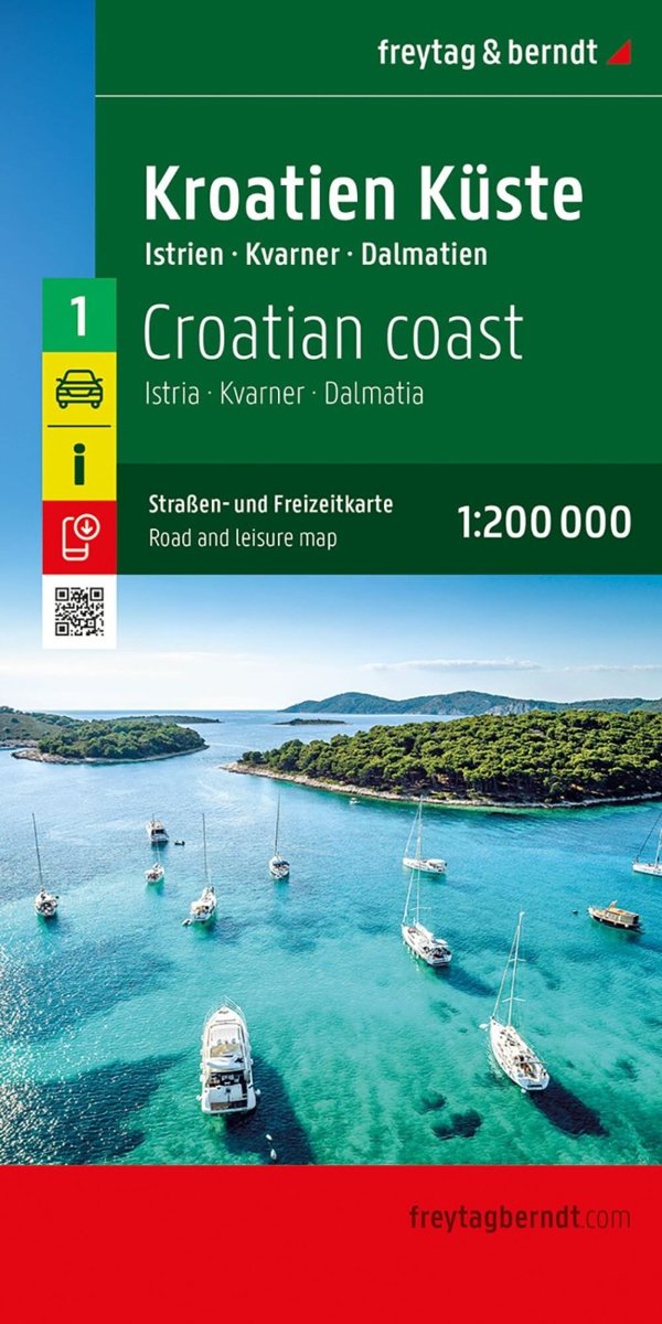
The Croatian Coast road map, covering Istria, Dalmatia and Kvarner , presents the region’s road network in detail. It brings together useful tourist information for planning routes and exploring by car, motorcycle or motorhome. Scale: 1:200,000 for a detailed view of the coast and local roads. Complete road network and distances. Car ferries between the islands and the mainland. Tourist sights and points of interest.
Product information

Weight 96 g
Publisher

Language

Continent

Europe

Country

Croatia

ISBN

9783707924640

Scale

1:200,000

Format

Folded map

Destination

Balkans

Reviews

There are no reviews yet.

Be the first to review “Croatian Coast: Istria, Dalmatia & Kvarner – Road Map (Freytag & Berndt)”

Your email address will not be published. Required fields are marked *

Croatian Coast: Istria, Dalmatia & Kvarner – Road Map (Freytag & Berndt)
€14.94Publisher price €16.60 Add to cart
ΕΛ