
Περιγραφή
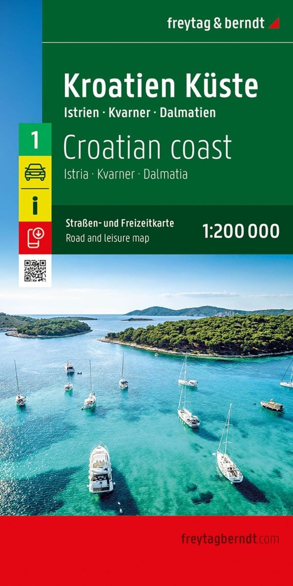
The Croatian Coast road map, covering Istria, Dalmatia and Kvarner , presents the region’s road network in detail. It brings together useful tourist information for planning routes and exploring by car, motorcycle or motorhome. Scale: 1:200,000 for a detailed view of the coast and local roads. Complete road network and distances. Car ferries between the islands and the mainland. Tourist sights and points of interest.


Αξιολογήσεις
Δεν υπάρχει καμία αξιολόγηση ακόμη.