
Free shipping within Greece on orders over €30210 3616943
New
10% Off
Greek / English edition
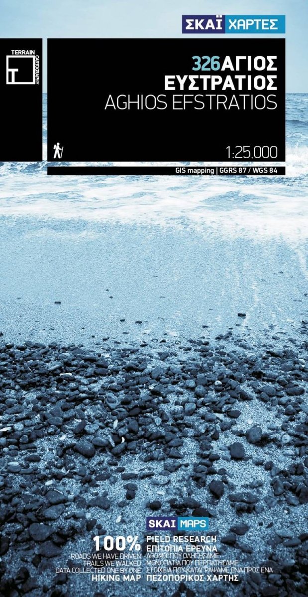
Original title: Άγιος Ευστράτιος – Πεζοπορικός Χάρτης (Terrain)

4,86 €Publisher price 5,40 €

In stock
ISBN/Barcode: 9789606845789Code: TB.TR.00027 Category: , , , Tags: , ,

Description

This TERRAIN hiking map was the first, and remains to this day the only, GIS (Geographical Information Systems) map published for this small, remote Aegean island. It shows the island’s entire road network, all its beaches and all its points of interest.

Product information

Weight 65 g
Dimensions 13 × 25 cm
Publisher

Language

,

Continent

Europe

Country

Greece

Prefecture

Lesvos

City / Island

Agios Efstratios

ISBN

9789606845789

Scale

1:20,000

Format

Folded map

Publication month

June

Publication year

2009

Destination

North Aegean

Reviews

There are no reviews yet.

Be the first to review “Άγιος Ευστράτιος – Πεζοπορικός Χάρτης (Terrain)”

Your email address will not be published. Required fields are marked *

Άγιος Ευστράτιος
Agios Efstratios – Hiking Map (Terrain)
4,86 €Publisher price 5,40 € Add to cart
Ελληνικά