Description
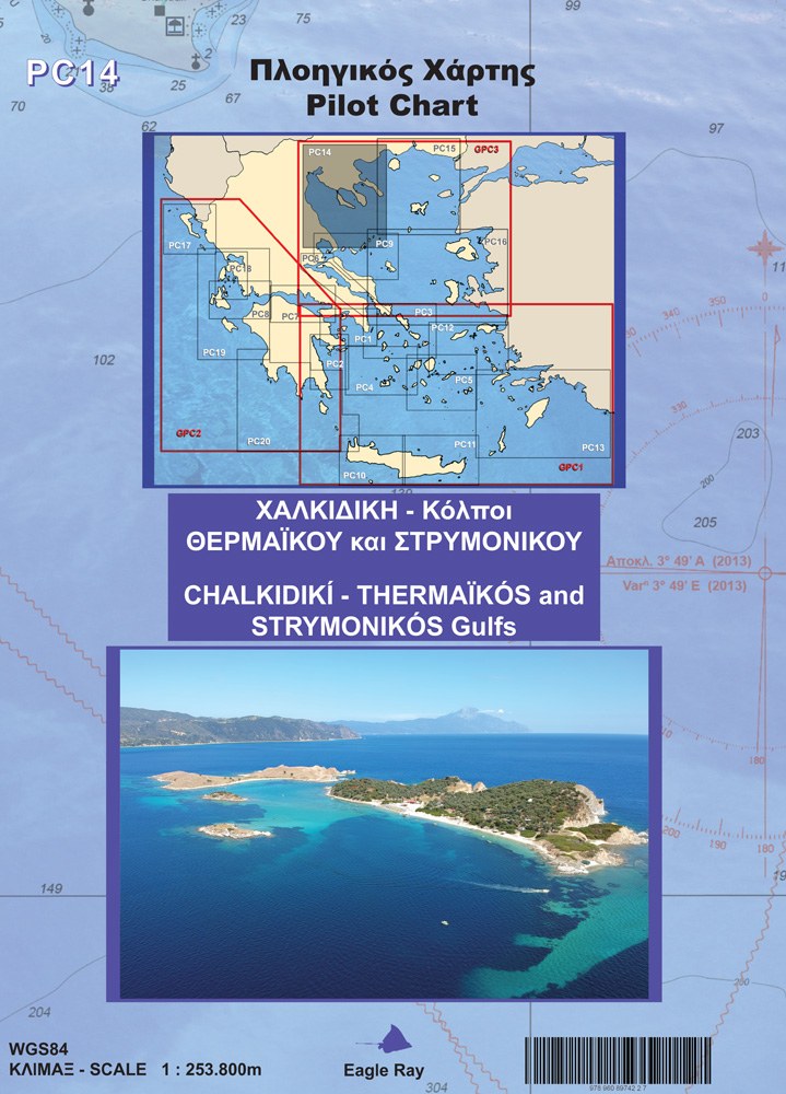
Bilingual (Greek – English) Eagle Ray nautical chart PC14 for Halkidiki and the Thermaic and Strymonian Gulfs, at a scale of 1:255,900.

22,50 €Publisher price 25,00 €
In stockBilingual (Greek – English) Eagle Ray nautical chart PC14 for Halkidiki and the Thermaic and Strymonian Gulfs, at a scale of 1:255,900.
| Publisher | |
|---|---|
| Language | |
| Continent | Europe |
| Country | Greece |
| Prefecture | Θεσσαλονίκη, Πιερία, Χαλκιδική |
| City / Island | Thessaloniki |
| ISBN | 9789608974227 |
| Scale | 1:255,900 |
| Format | Folded map |
| Destination | Μακεδονία & Θράκη |

Reviews
There are no reviews yet.