
Free shipping within Greece on orders over €30210 3616943
New
10% Off
English edition

€19.49Publisher price €21.66

In stock

Wall Map

ISBN/Barcode: 9780792249559Code: TB.NG.PCN.00008 Category: , Tags: ,

Description

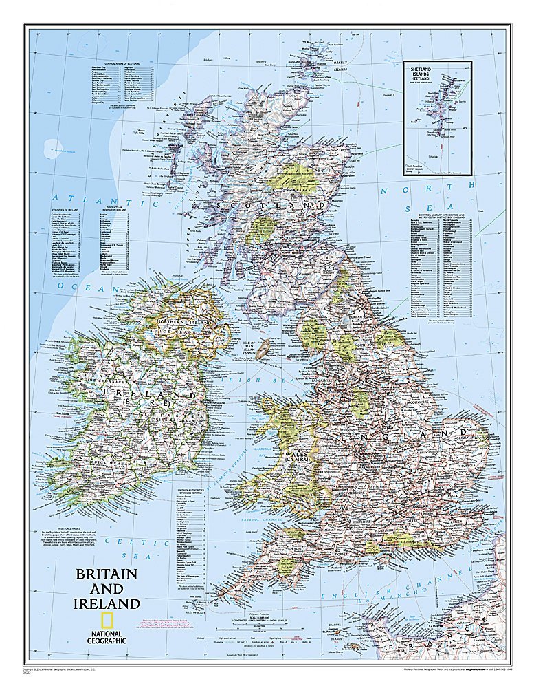
National Geographic’s Classic political map of Britain and Ireland is both an attractive addition to any study or classroom and an informative tool for exploring these fascinating countries. The map features thousands of place names, major highways and roads, airports, ferry routes, bodies of water, and more.


Product information

Weight 363 g
Dimensions 8 × 69 cm
Publisher

Language

Continent

Europe

Country

Ηνωμένο Βασίλειο, Ιρλανδία

ISBN

9780792249559

Scale

1:1,679,000

Unfolded size

60 x 77 cm

Publication month

November

Publication year

2016

Destination

UK & Ireland

Reviews

There are no reviews yet.

Be the first to review “Great Britain & Ireland (60 x 77 cm) – Wall Map (National Geographic)”

Your email address will not be published. Required fields are marked *

Great Britain & Ireland (60 x 77 cm) – Wall Map (National Geographic)
€19.49Publisher price €21.66 Add to cart
ΕΛ