
Περιγραφή
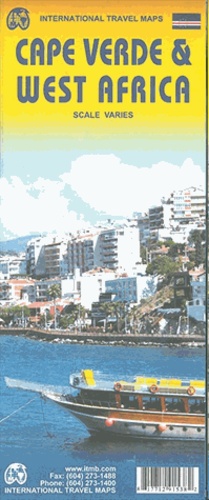
This ITM map features an overview map of the Cape Verde Islands at 1:500,000 with more detailed insets of individual islands including São Nicolau, Fogo, São Vicente, Santiago, Brava and Santo Antão, at scales around 1:200,000. Relief, a town index and inter-island sea connections are shown. On the reverse, a map of West Africa at 1:3,400,000 (1 cm = 34 km) completes the coverage.





Αξιολογήσεις
Δεν υπάρχει καμία αξιολόγηση ακόμη.