

Περιγραφή
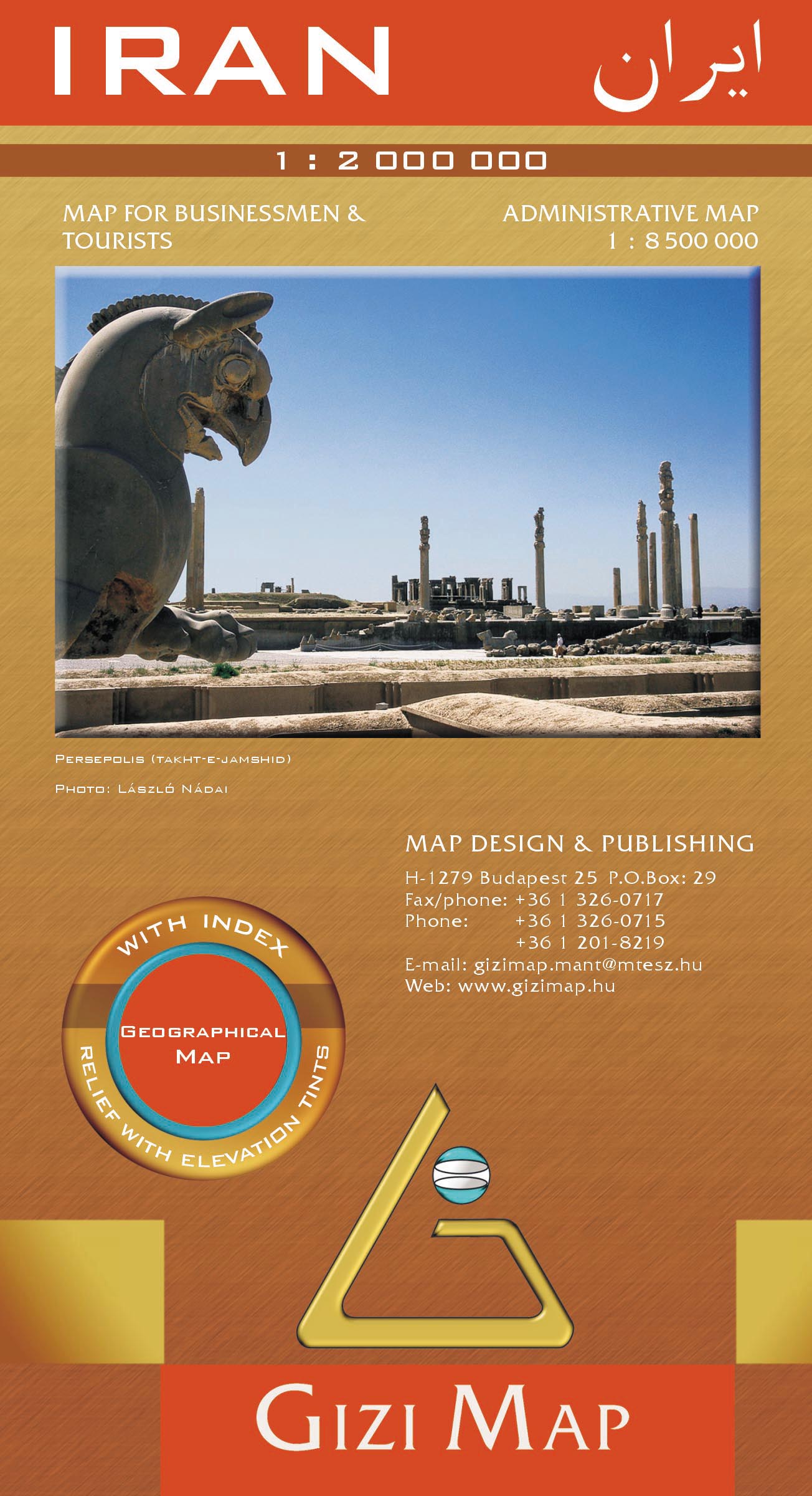
This 1:2,000,000 geographical map of Iran , published by Gizi Map, highlights relief, transport networks and administrative divisions. Its clear cartography helps locate the main transport routes and the principal natural and cultural regions. Coverage includes all of Iran, eastern Iraq with Baghdad, Kirkuk and Najaf, Kuwait, parts of Turkmenistan and Afghanistan, and the Persian Gulf and Strait of Hormuz.



Αξιολογήσεις
Δεν υπάρχει καμία αξιολόγηση ακόμη.