
Περιγραφή
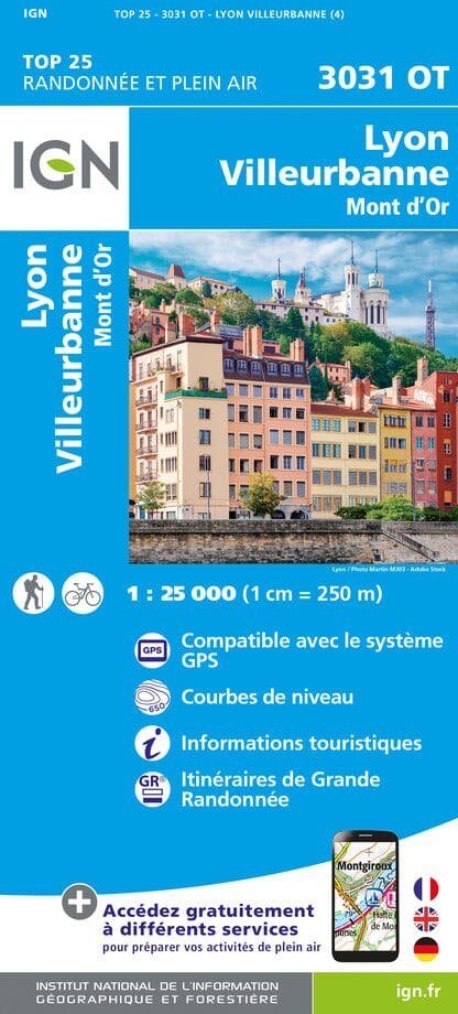
The IGN TOP 25 hiking map No. 3031 OT covers the following area: Lyon, Villeurbanne, Mont d’Or . Contour lines at 10-metre intervals. Detailed legend: vegetation, rocks, transport routes down to the smallest paths, buildings down to individual sheds, woodland, isolated trees, rivers, springs and more. Waymarked trails and tourist information are shown. Scale: 1:25,000 (1 cm = 250 m).








Αξιολογήσεις
Δεν υπάρχει καμία αξιολόγηση ακόμη.